The Journey, Day by Day
Combine a ground excursion among the dunes of Sossusvlei with scenic flying over the shipwreck coast, then explore the Huab and Hoarusib valleys before the Kunene River. The final flight returns to Windhoek. Flight distances and ground timings below are approximate; weather, visibility, runway conditions and local access determine the final sequence.
Day 1 · Windhoek to Sossusvlei and Conception Bay
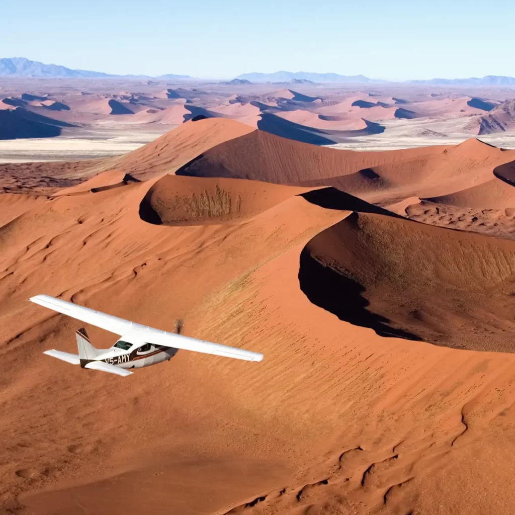
Fly from Windhoek toward Sossusvlei, watching mountain ranges give way to the immense dune sea of the Namib. Land near Sesriem for a guided 4x4 excursion to Dune 45, Sossusvlei and Deadvlei, then return to the aircraft. Continue west across former diamond areas to Conception Bay and the shipwreck coast before flying north toward the first remote camp. The exact flight path, landing points and timing remain subject to weather, visibility, runway conditions and operational requirements. Ground excursions are privately guided and paced around the day's flying conditions.
Flight: approx. 750 to 900 km / 3.5 to 4.5 hours in stages; local 4x4 excursion included
Day 2 · Cape Cross and the Huab Valley
Continue along the Atlantic coast for aerial views of the Long Wall, seal areas and Cape Cross before turning inland toward the Huab Valley. After landing, explore by 4x4 through dry river channels and desert plains, searching for elephants and other wildlife adapted to this arid environment. The combination of coast and inland valleys reveals how sharply Namibia's landscapes can change over a short distance. The exact flight path, landing points and timing remain subject to weather, visibility, runway conditions and operational requirements.
Flight: approx. 250 to 400 km / 1.5 to 2.5 hours; 4x4: approx. 60 to 100 km
Day 3 · Hoarusib Valley to the Kunene River
Explore the Hoarusib landscape by 4x4, crossing open gravel plains and dry river channels where desert wildlife moves between distant water sources. Continue by air across the Hartmann Valley toward the Kunene River, a green ribbon along Namibia's northern border. A respectful cultural visit with local Ovahimba hosts may be included before the final transfer to a remote riverside camp. The exact flight path, landing points and timing remain subject to weather, visibility, runway conditions and operational requirements.
Flight: approx. 180 to 280 km / 1 to 1.5 hours; local 4x4 travel varies
Day 4 · Kunene River and Flight to Windhoek
Begin with a morning boat excursion on the Kunene River, watching the rocky banks, birdlife and possible crocodiles from the water. Return to the airstrip for the flight south to Windhoek, with changing views over Kaokoland, Damaraland and the central plateau. The journey ends with a road transfer from the airport or airstrip to the confirmed Windhoek accommodation. The exact flight path, landing points and timing remain subject to weather, visibility, runway conditions and operational requirements. Ground excursions are privately guided and paced around the day's flying conditions.
Boat: approx. 1 to 2 hours; flight: approx. 650 to 750 km / 3 to 4 hours
Trip Details & Travel Times
Start and finish in Windhoek on this private fly-in route through Sossusvlei, the Skeleton Coast and the Kunene region. Daily flight and 4x4 distances are indicative; aircraft availability, weather, visibility, runway conditions and the confirmed landing points can change the schedule. Desert wildlife sightings are natural and cannot be guaranteed. Camps, meals, flights, ground activities and baggage limits are as confirmed in the final travel proposal.
Fly-in operating information
Routes, schedules, aircraft type, landing locations and daily activities may change because of weather, visibility, runway conditions, wildlife movement and operational requirements. Passenger weights and luggage details must be supplied before departure. Soft-sided luggage is normally required, and the confirmed allowance will be stated in the quotation.